The community journal of the Palos Verdes Peninsula — four cities, one Hill Real estate on the Hill → properkey.us
Palos Verdes Life The Peninsula · 90274 & 90275
Home / The Peninsula
26 square miles · 1,483 feet at the crest · once an island

One Hill, understood whole

Before it is four cities, the Palos Verdes Peninsula is one piece of geology, one climate, one school district, and one shared idea about how to live. This page is the connective tissue — the geography, the identity, and the corners of the Hill that belong to no city at all.

The Peninsula from the air · formulanone, CC BY-SA 2.0, via Wikimedia Commons
The land

Thirteen steps out of the sea

The Peninsula began as an island. For most of the last ten million years, the Palos Verdes Hills stood offshore, separated from the mainland by a channel that is now the flatland of Torrance and Lomita. As the land rose and the sea carved, the Hill recorded every pause in the process: thirteen marine terraces, stacked like an amphitheater from the surf to San Pedro Hill's 1,483-foot crest — the reason so many streets here run level along the slope, and so many living rooms look straight down onto the ocean.

The same geology gives the Hill its character and its caution. The terraces are built partly of weak volcanic ash layers (bentonite) that, when soaked, can slide — spectacularly at Portuguese Bend, slowly elsewhere. Land on the Peninsula is not a commodity; it is a biography, parcel by parcel.

The name is a biography too: Cañada de los Palos Verdes — "canyon of the green trees" — appears in Spanish records by the early 1800s, attached to the rancho granted to the Sepúlveda family. The green stuck.
The stepped marine terraces of the Palos Verdes coastline meeting the Pacific

Terraced coast, Palos Verdes Estates · Ken Lund, CC BY-SA 2.0, via Wikimedia Commons
Orientation

The whole Hill on one map

City or community Shared landmark

Tap any marker for a one-line profile and a link to its full page.

Identity

The 90274 / 90275 puzzle, solved

Why your mail says "Palos Verdes Peninsula"

The Hill has two ZIP codes and five mailing names, and none of them line up neatly with city limits. 90275 is Rancho Palos Verdes. 90274 covers everything else — Palos Verdes Estates, Rolling Hills, Rolling Hills Estates, and the unincorporated pockets — and the Postal Service accepts "Palos Verdes Peninsula" for most of it. So a Rolling Hills Estates household, a Rolling Hills estate, and an unincorporated Westfield ranch can all share a mailing city that is not a city at all. Locals solve the whole problem with two words: the Hill.

What the Hill shares

  • One school districtPalos Verdes Peninsula USD
  • One library districtPeninsula Center · Malaga Cove · Miraleste
  • One land conservancy≈1,700 acres under its care Hill-wide
  • One arts circuitPV Art Center · Norris Theatre · Botanic Garden
  • One road logicThe Palos Verdes Drive loop — N, E, S, W
The county corners

The unincorporated Hill: Westfield & Academy Hill

Westfield

Unincorporated L.A. County · 90274

Tucked against Rolling Hills Estates' eastern neighborhoods, Westfield is a county island that never joined a city — and its residents have generally liked it that way. The feel is pure east-Hill: equestrian parcels, board fences, and trail connections into the RHE network, with county governance (and county rules) instead of a city hall. Buyers should note the practical differences: L.A. County planning, sheriff and fire service contracts, and occasionally different permit paths than neighbors a street away.

Academy Hill

Unincorporated L.A. County · 90274

The knoll around Chadwick School — the K-12 independent school founded by Margaret Chadwick in 1935, whose alumni range from astronauts to Oscar winners — sits on its own unincorporated rise between RHE, Rolling Hills, and the county line. A handful of residential streets share the hill with the campus and its remarkable views over the basin.

Westfield and Academy Hill are the two principal county islands, with a few smaller unincorporated slivers along the Hill's edges. Los Angeles County occasionally studies annexation into neighboring cities; nothing has changed their status in decades. County services info: lacounty.gov.

Living here

Hill practicalities every resident learns

Weather is vertical

The marine layer owns the coast in May and June while the crest sits in sunshine; winter storms hit the top of the Hill hardest. Locals check the weather by elevation, not by city — and know the fog line often sits, almost exactly, at Crest Road.

Four ways off the Hill

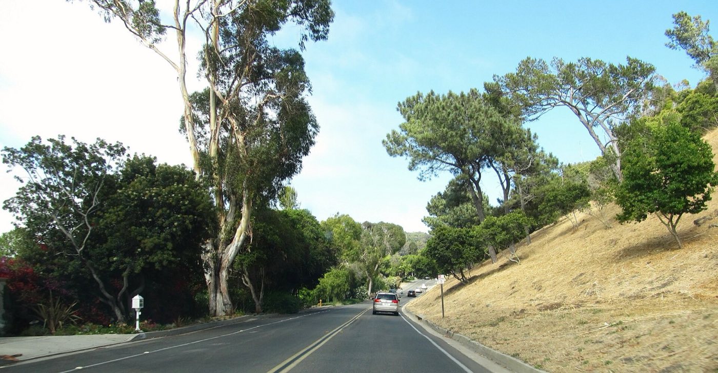
Hawthorne, Crenshaw, Western, and the Palos Verdes Drive loop are the arteries; when one closes, everyone feels it. PV Transit and school buses do the heavy lifting for students; everyone else budgets the grade into their commute — and forgives it at sunset.

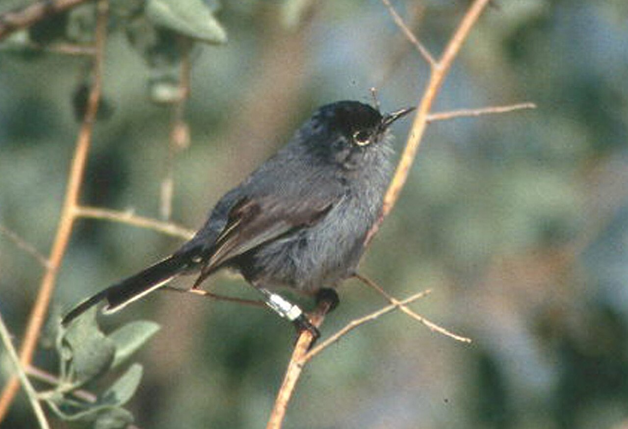
A California gnatcatcher, the threatened songbird of the Peninsula's coastal sage

Wild neighbors

Coyotes patrol the canyons, peafowl argue at dawn (a century-old gift from the Vanderlip era that several cities now formally manage), and December through April the gray whales stream past Point Vicente. Keeping pets indoors at night is Hill 101.

Fire & emergency readiness

Coastal sage burns. Brush-clearance season is enforced, and every household should register for Alert SouthBay notifications and know both routes off the Hill from home.

The ground, again

From Portuguese Bend to Peartree Lane, the Peninsula's geology is a living subject. Before buying anywhere near a canyon rim or the south coast, read our land-movement explainer — then hire the geologist anyway.

Where decisions get made

Four city councils, one school board, one library board, and the county for the islands. Agendas are public, meetings are streamed, and the Hill's civic culture runs on residents who show up. Start with our News & Issues page.

Go deeper

Meet the four cities